Cockermouth is well known for its speciality
shops and many art galleries. Pictured is
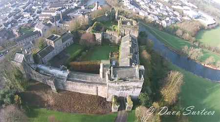
the Jennings Brewery nestling beneath the Castle walls.
The Tourist
Information Centre is now located in the Library Community Hub: Telephone
01900 822634.
The website is maintained by Cockermouth based Dave Siddall. If you wish
to promote your business or to report any errors..please contact dave@lakestay.co.uk.
And if you find the many features and info helpful you could always make
a donation, however small, to keep the site in service.